Gatineau vs Sainte-Foy–Sillery–Cap-Rouge
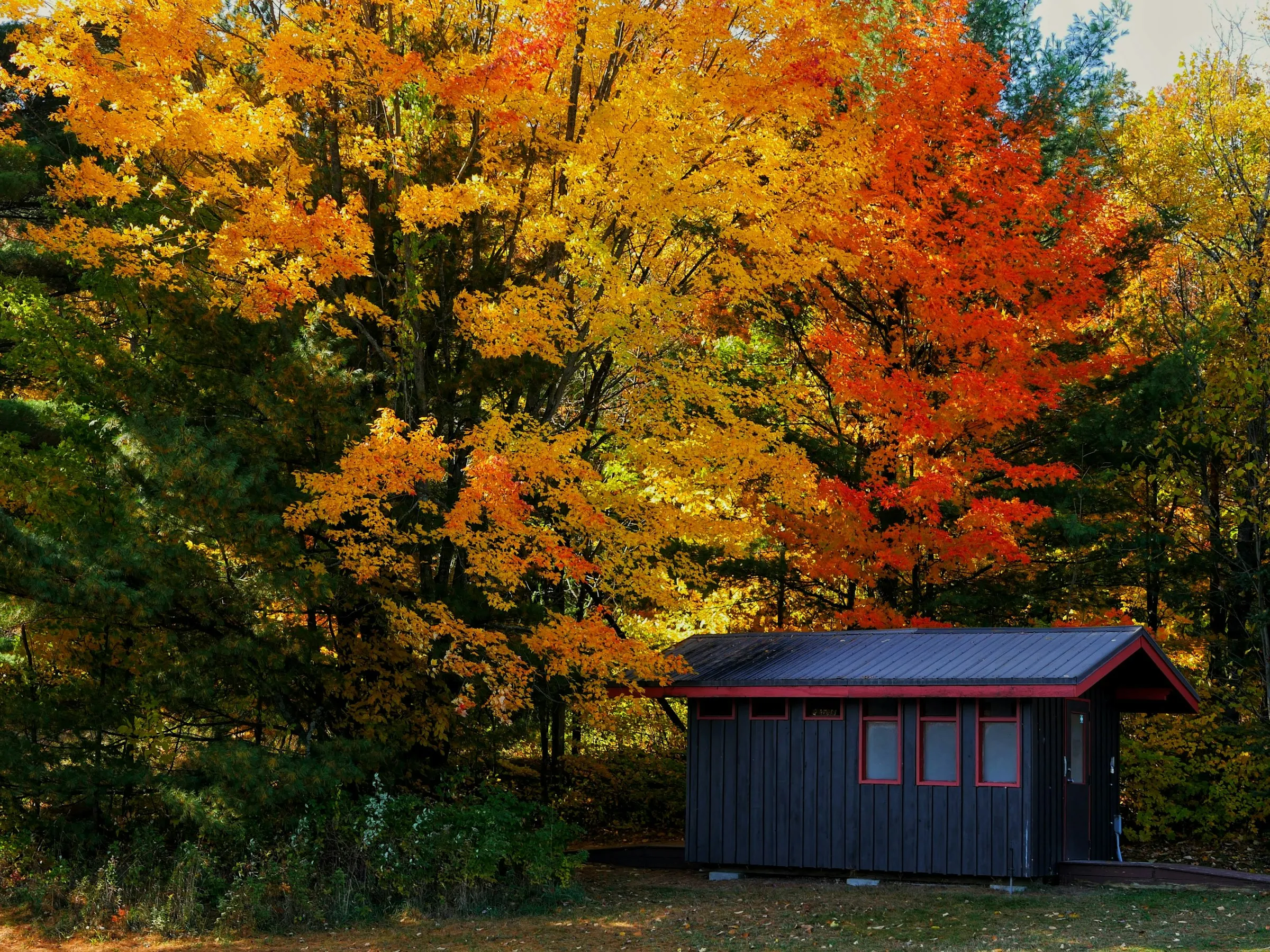
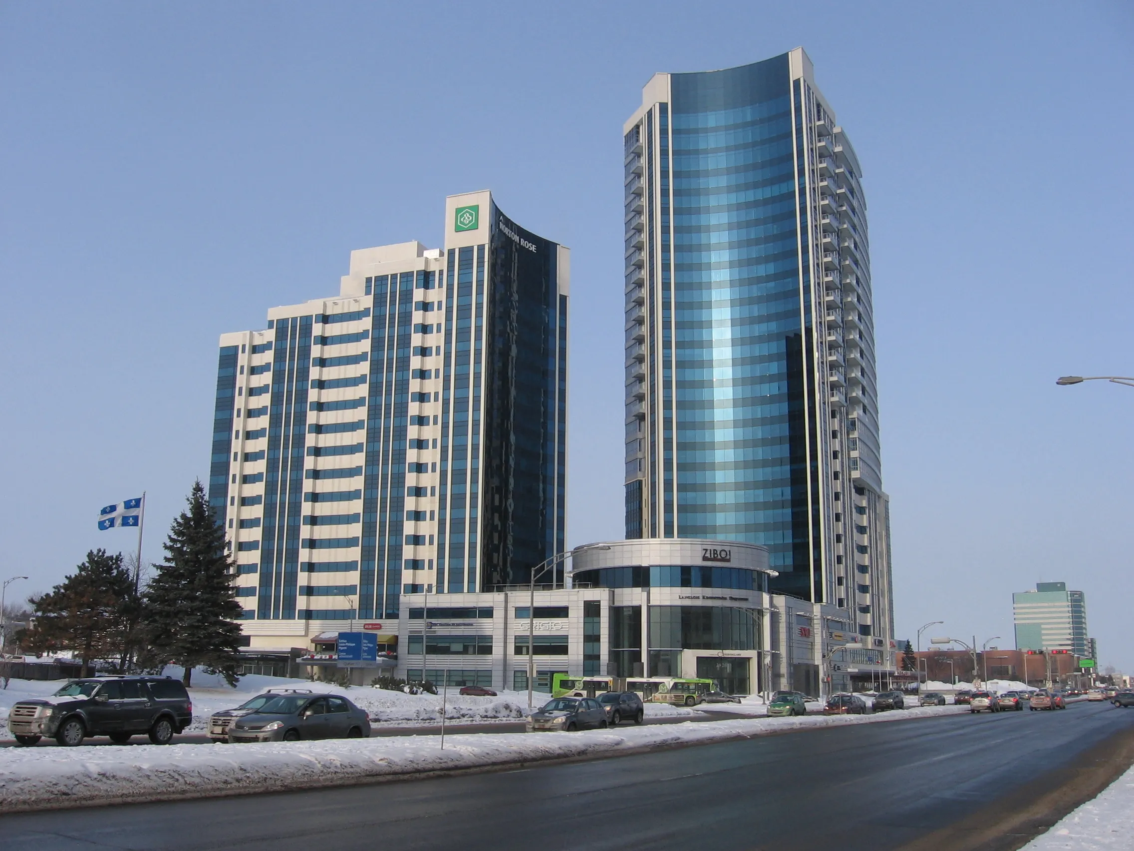
vs
Brossard×GatineauGatineau×LavalBrossard×Sainte-Foy–Sillery–Cap-RougeLaval×Sainte-Foy–Sillery–Cap-RougeLe Plateau-Mont-Royal×VerdunOutremont×Rosemont-La Petite-PatrieLachine×Saint-LaurentSherbrooke×Trois-RivièresLaval×QuébecBeauport×CharlesbourgLe Plateau-Mont-Royal×La Cité-LimoilouBrossard×GatineauGatineau×LavalBrossard×Sainte-Foy–Sillery–Cap-RougeLaval×Sainte-Foy–Sillery–Cap-RougeLe Plateau-Mont-Royal×VerdunOutremont×Rosemont-La Petite-PatrieLachine×Saint-LaurentSherbrooke×Trois-RivièresLaval×QuébecBeauport×CharlesbourgLe Plateau-Mont-Royal×La Cité-Limoilou
Comparison
The same numbers,
side by side.
Gatineau leads on 6 of the 6 dimensions compared. Across 11 public indicators, here's how Gatineau and Sainte-Foy–Sillery–Cap-Rouge stack up. Gatineau shows 291,040 residents on population versus 107,657 residents for Sainte-Foy–Sillery–Cap-Rouge. Gatineau holds 341.8 km² on area, 96.7 km² for Sainte-Foy–Sillery–Cap-Rouge. Gatineau pulls ahead with 851 residents per km² on density (1,113 residents per km² for Sainte-Foy–Sillery–Cap-Rouge). Gatineau takes the edge on area (3.5× more), while Sainte-Foy–Sillery–Cap-Rouge stands out on density (31% more).
| Indicator | Gatineau | Sainte-Foy–Sillery–Cap-Rouge |
|---|---|---|
| Population (residents) | 291 040 | 107 657 |
| Area (square kilometres) | 341,8 km² | 96,7 km² |
| Density (residents per km²) | 851 | 1 113 |
| Bus stops (stops) | 1 843 | 877 |
| Schools (schools (MEQ)) | 83 | 27 |
| Primary schools (primary schools) | 58 | 15 |
| Secondary schools (secondary schools) | 12 | 3 |
| Public schools (public schools) | 77 | 20 |
| Private schools (private schools) | 6 | 7 |
| CEGEPs (CEGEPs and colleges) | 11 | 7 |
| Universities (universities) | 1 | 1 |
In short
Gatineau stands out for its academic offering with about 4 times more secondary schools (representing 300% more) than Sainte-Foy-Sillery-Cap-Rouge, an absolute difference of 9 schools. This difference is tied to the scale of the Outaouais city, which has about 3.5 times more area (representing 253% more) at 341.8 km² compared to 96.7 km² for the Quebec City borough. Sainte-Foy-Sillery-Cap-Rouge maintains a higher density with 1,113 residents per km² compared to 851 in Gatineau.
Questions
Questions about Gatineau vs Sainte-Foy–Sillery–Cap-Rouge
- Which area offers better public transit accessibility?
- Gatineau features 1,843 bus stops compared to 877 for Sainte-Foy-Sillery-Cap-Rouge, which is a difference of 966 stops. This transit network is designed to cover the vast territory of the Outaouais city.
- Which sector is more suitable for young children's education?
- Gatineau has 58 primary schools compared to 15 in Sainte-Foy-Sillery-Cap-Rouge, representing about 3.9 times more (or 287% more) primary schools. Sainte-Foy-Sillery-Cap-Rouge holds an advantage for private education with 7 schools compared to 6 in Gatineau.
- How do the populations of these two territories compare?
- Gatineau is more populated with 291,040 residents compared to 107,657 for Sainte-Foy-Sillery-Cap-Rouge, which represents about 2.7 times more (or 170% more) people.
- What about access to higher education?
- Both sectors are tied with 1 university each. Gatineau offers 11 CEGEPs compared to 7 for Sainte-Foy-Sillery-Cap-Rouge, providing a wide range of college options.
Other pairs
Explore other comparisons.
Compare 2 other neighbourhoods
Pick freely from all covered places.