Saint-Léonard vs Sainte-Foy–Sillery–Cap-Rouge
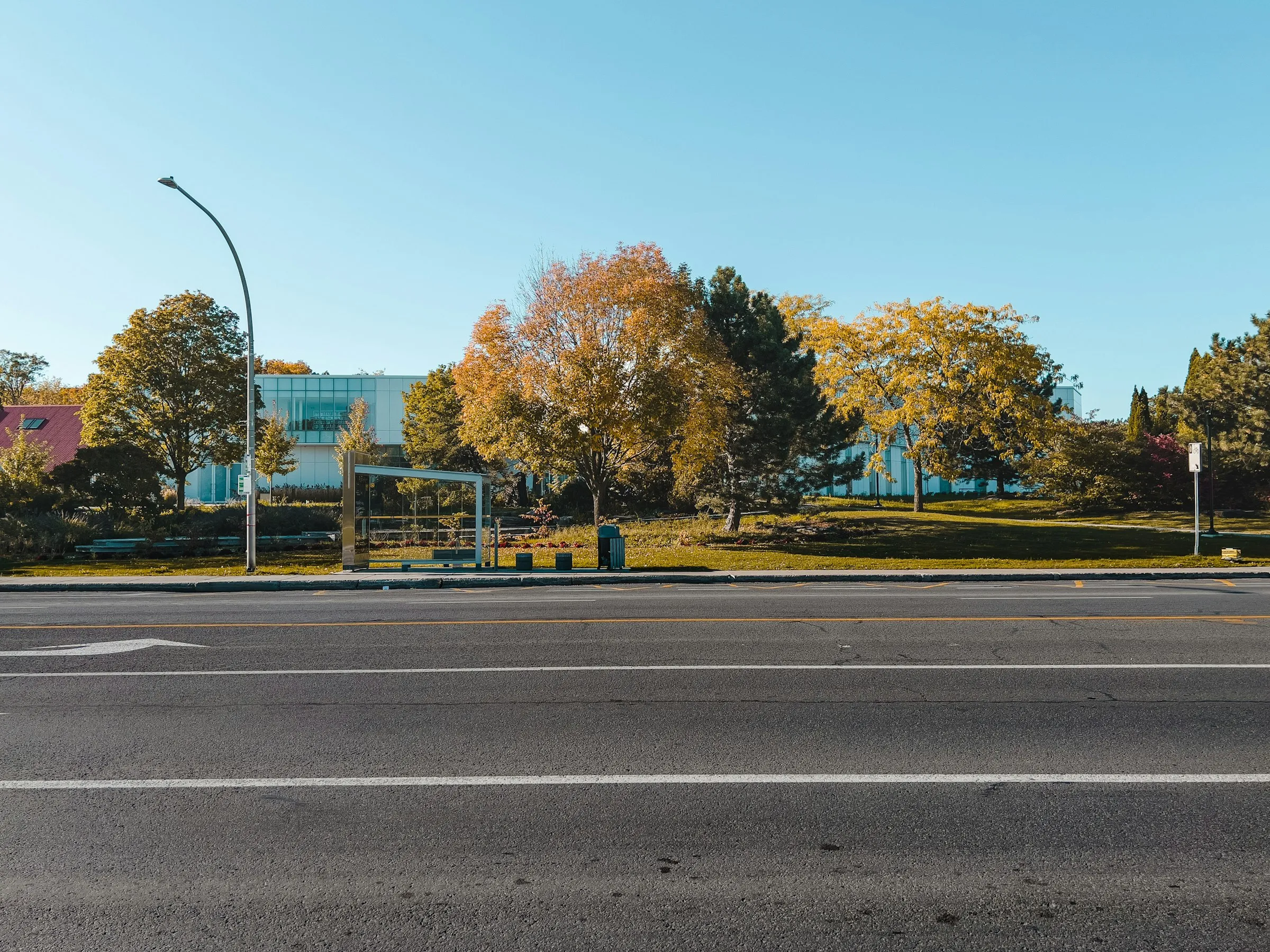
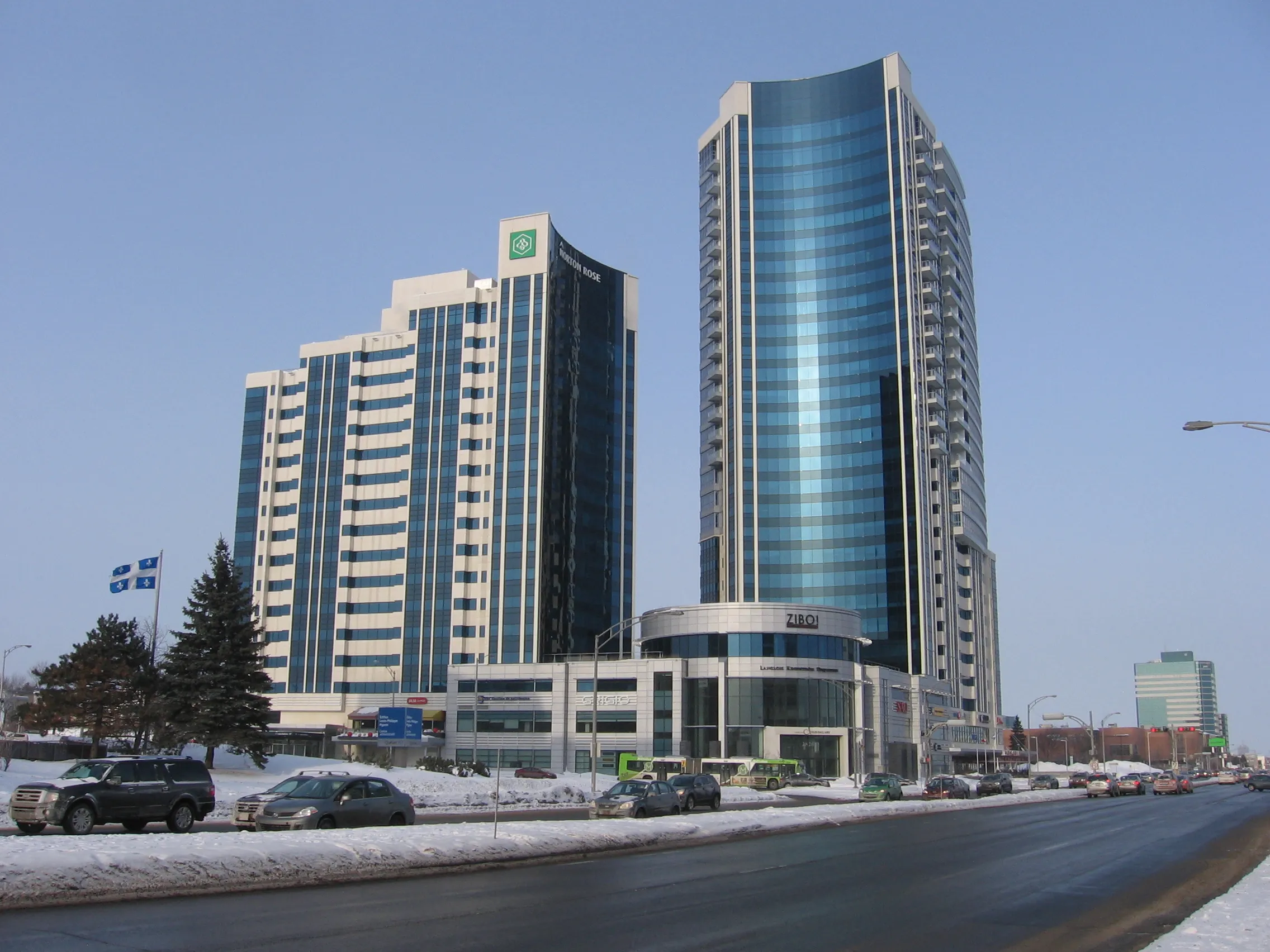
vs
Saint-Léonard×BrossardSaint-Léonard×GatineauBrossard×Sainte-Foy–Sillery–Cap-RougeGatineau×Sainte-Foy–Sillery–Cap-RougeLe Plateau-Mont-Royal×VerdunOutremont×Rosemont-La Petite-PatrieLachine×Saint-LaurentSherbrooke×Trois-RivièresLaval×QuébecGatineau×SaguenayBeauport×CharlesbourgLe Plateau-Mont-Royal×La Cité-LimoilouSaint-Léonard×BrossardSaint-Léonard×GatineauBrossard×Sainte-Foy–Sillery–Cap-RougeGatineau×Sainte-Foy–Sillery–Cap-RougeLe Plateau-Mont-Royal×VerdunOutremont×Rosemont-La Petite-PatrieLachine×Saint-LaurentSherbrooke×Trois-RivièresLaval×QuébecGatineau×SaguenayBeauport×CharlesbourgLe Plateau-Mont-Royal×La Cité-Limoilou
Comparison
The same numbers,
side by side.
Sainte-Foy–Sillery–Cap-Rouge leads on 7 of the 7 dimensions compared. Between Saint-Léonard and Sainte-Foy–Sillery–Cap-Rouge, 11 public indicators line up. Saint-Léonard shows 75,707 residents on population versus 107,657 residents for Sainte-Foy–Sillery–Cap-Rouge. Saint-Léonard records 13.5 km² on area, against 96.7 km² in Sainte-Foy–Sillery–Cap-Rouge. on density, Saint-Léonard reaches 5,616 residents per km² while Sainte-Foy–Sillery–Cap-Rouge sits at 1,113 residents per km². The difference shows mostly on area, where Sainte-Foy–Sillery–Cap-Rouge leads by 7.2× more, and on density, where Saint-Léonard regains 5× more.
| Indicator | Saint-Léonard | Sainte-Foy–Sillery–Cap-Rouge |
|---|---|---|
| Population (residents) | 75 707 | 107 657 |
| Area (square kilometres) | 13,5 km² | 96,7 km² |
| Density (residents per km²) | 5 616 | 1 113 |
| Public trees (maintained public trees) | 23 446 | 34 636 |
| Bus stops (stops) | 279 | 877 |
| Schools (schools (MEQ)) | 14 | 27 |
| Primary schools (primary schools) | 12 | 15 |
| Secondary schools (secondary schools) | 2 | 3 |
| Public schools (public schools) | 14 | 20 |
| Private schools (private schools) | 0 | 7 |
| CEGEPs (CEGEPs and colleges) | 2 | 7 |
In short
The contrast in space between these two areas is striking, as Sainte-Foy-Sillery-Cap-Rouge has about 7.2 times more (618% more) area than Saint-Léonard, spanning 96.7 km² compared to 13.5 km². This territorial difference explains why Saint-Léonard features a density about 5.1 times higher (405% more), with 5,616 residents per km² compared to 1,113 in the Quebec City borough. While the Montreal sector relies on close-knit urban proximity, the Quebec City giant offers an expansive living environment with 34,636 public trees and numerous educational institutions.
Questions
Questions about Saint-Léonard vs Sainte-Foy–Sillery–Cap-Rouge
- Which area offers the most spacious and green environment?
- Sainte-Foy-Sillery-Cap-Rouge wins by a wide margin with its 96.7 km² and 34,636 public trees. Its low density of 1,113 residents per km² guarantees a peaceful and airy living environment.
- How does the school offering compare for families?
- Sainte-Foy-Sillery-Cap-Rouge offers 93% more schools than Saint-Léonard, with 27 schools compared to 14. The Quebec City borough also stands out with 7 CEGEPs and 7 private schools, while Saint-Léonard has 4 CEGEPs and 0 private schools.
- Which borough makes public transit commuting easier?
- Sainte-Foy-Sillery-Cap-Rouge has about 3.1 times more (214% more) bus stops with a total of 877 stops. Saint-Léonard has 279 stops, but compensates with a high urban concentration that facilitates walking.
- What is the demographic profile of these two destinations?
- Sainte-Foy-Sillery-Cap-Rouge is home to a larger population of 107,657 residents, representing an absolute difference of 31,950 residents compared to the 75,707 people living in Saint-Léonard. Both environments warmly welcome families with services adapted to their respective scales.
Other pairs
Explore other comparisons.
Compare 2 other neighbourhoods
Pick freely from all covered places.