Pierrefonds-Roxboro vs Sainte-Foy–Sillery–Cap-Rouge
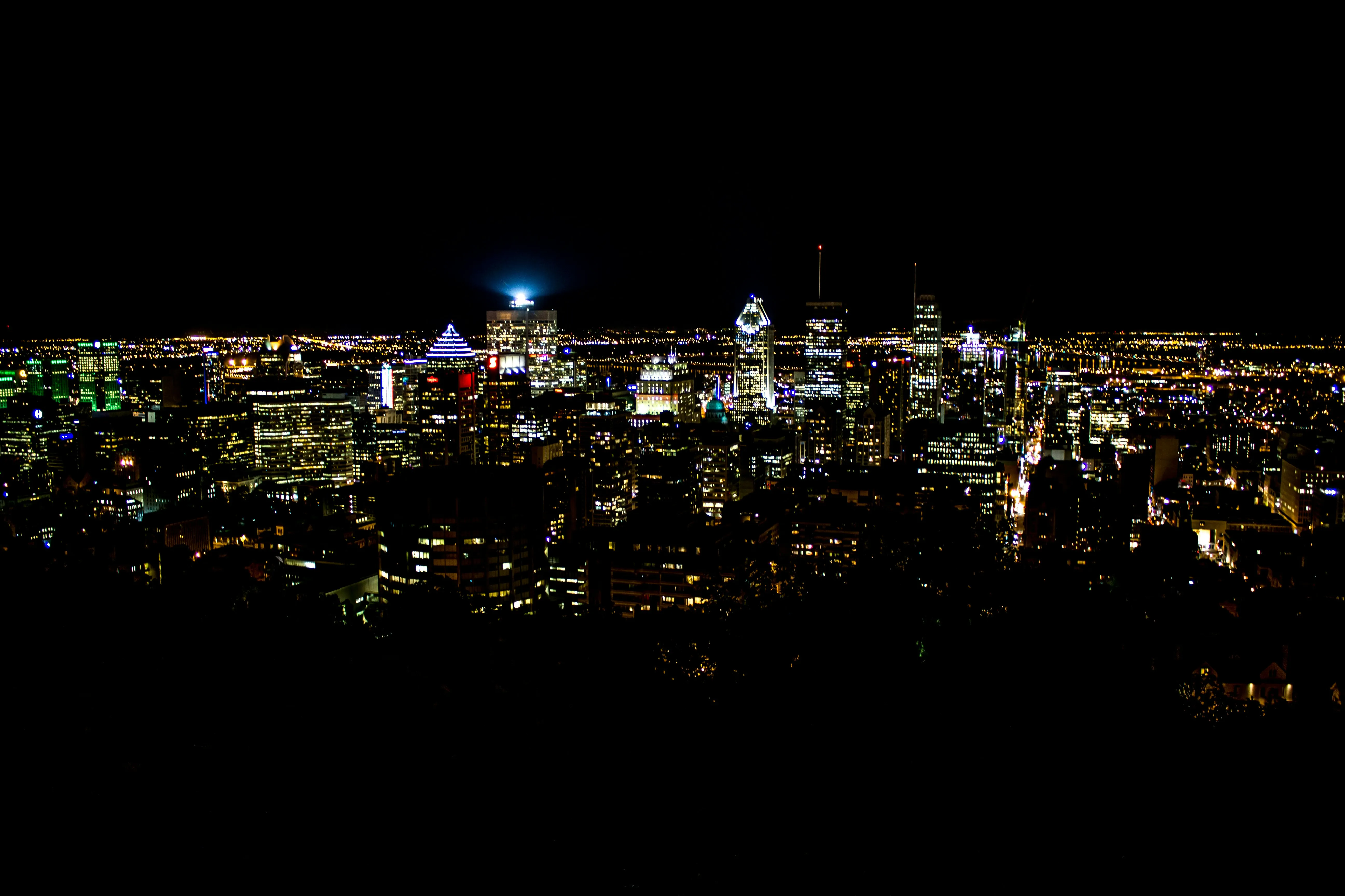
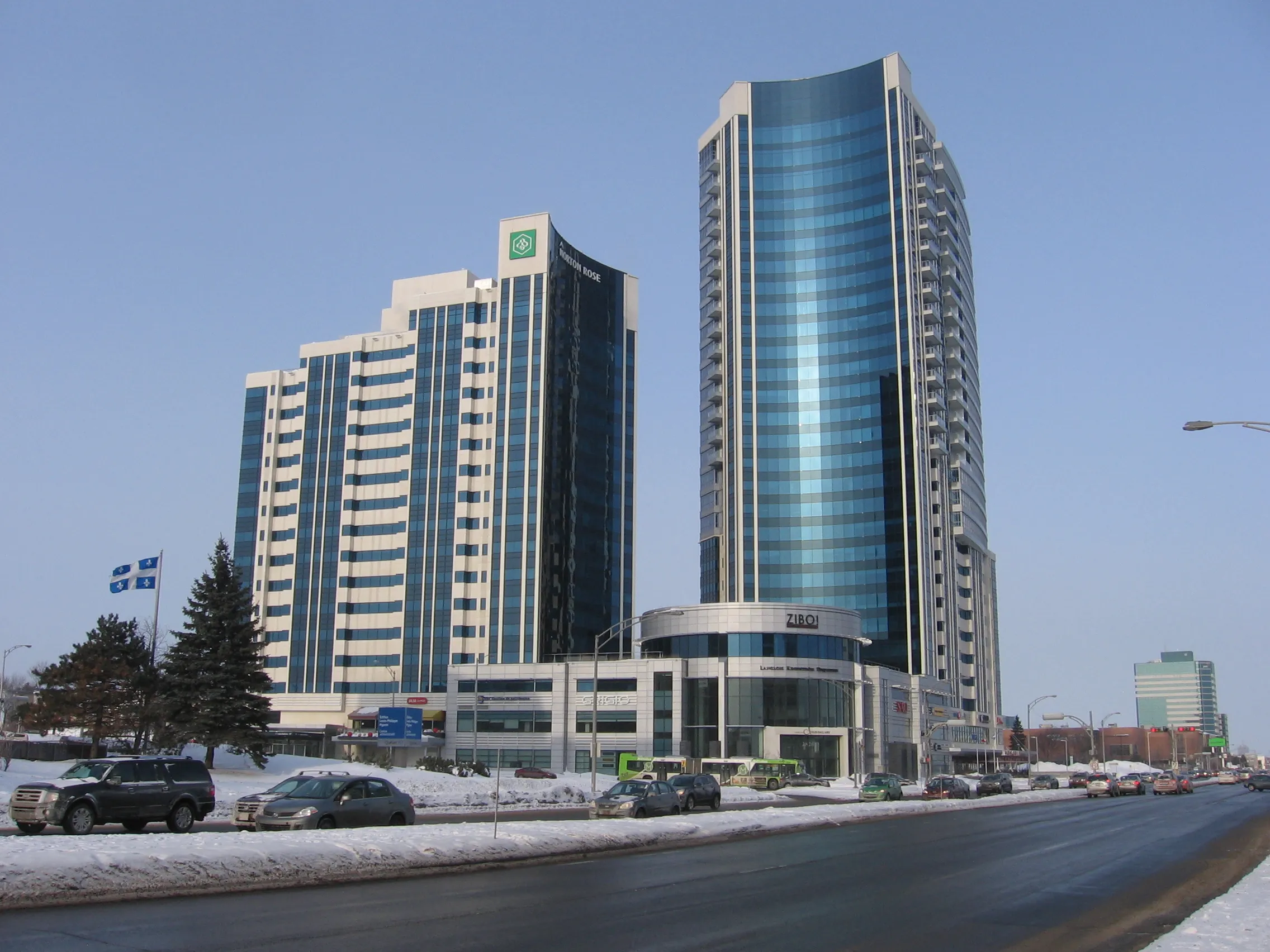
vs
Pierrefonds-Roxboro×BrossardPierrefonds-Roxboro×GatineauBrossard×Sainte-Foy–Sillery–Cap-RougeGatineau×Sainte-Foy–Sillery–Cap-RougeLe Plateau-Mont-Royal×VerdunOutremont×Rosemont-La Petite-PatrieLachine×Saint-LaurentSherbrooke×Trois-RivièresLaval×QuébecGatineau×SaguenayBeauport×CharlesbourgLe Plateau-Mont-Royal×La Cité-LimoilouPierrefonds-Roxboro×BrossardPierrefonds-Roxboro×GatineauBrossard×Sainte-Foy–Sillery–Cap-RougeGatineau×Sainte-Foy–Sillery–Cap-RougeLe Plateau-Mont-Royal×VerdunOutremont×Rosemont-La Petite-PatrieLachine×Saint-LaurentSherbrooke×Trois-RivièresLaval×QuébecGatineau×SaguenayBeauport×CharlesbourgLe Plateau-Mont-Royal×La Cité-Limoilou
Comparison
The same numbers,
side by side.
Sainte-Foy–Sillery–Cap-Rouge leads on 5 of the 5 dimensions compared. Across 10 public indicators, here's how Pierrefonds-Roxboro and Sainte-Foy–Sillery–Cap-Rouge stack up. on population, Pierrefonds-Roxboro reaches 68,410 residents while Sainte-Foy–Sillery–Cap-Rouge sits at 107,657 residents. 33.9 km² on area in Pierrefonds-Roxboro, 96.7 km² in Sainte-Foy–Sillery–Cap-Rouge. Pierrefonds-Roxboro pulls ahead with 2,017 residents per km² on density (1,113 residents per km² for Sainte-Foy–Sillery–Cap-Rouge). Sainte-Foy–Sillery–Cap-Rouge takes the edge on area (2.9× more), while Pierrefonds-Roxboro stands out on density (81% more).
| Indicator | Pierrefonds-Roxboro | Sainte-Foy–Sillery–Cap-Rouge |
|---|---|---|
| Population (residents) | 68 410 | 107 657 |
| Area (square kilometres) | 33,9 km² | 96,7 km² |
| Density (residents per km²) | 2 017 | 1 113 |
| Public trees (maintained public trees) | 16 977 | 34 636 |
| Bus stops (stops) | 297 | 877 |
| Schools (schools (MEQ)) | 19 | 27 |
| Primary schools (primary schools) | 12 | 15 |
| Secondary schools (secondary schools) | 3 | 3 |
| Public schools (public schools) | 15 | 20 |
| Private schools (private schools) | 4 | 7 |
In short
Sainte-Foy-Sillery-Cap-Rouge spans a vast territory with an area of 96.7 km², which is about 2.9 times more (185% more) than Pierrefonds-Roxboro and its 33.9 km². This vastness is reflected in a highly developed transit network featuring 877 bus stops in the Quebec City borough, about 3 times more (195% more) than the 297 stops found in its Montreal counterpart. Conversely, Pierrefonds-Roxboro offers a more compact neighborhood life with a density of 2,017 inhabitants per km², which is 81% more than Sainte-Foy-Sillery-Cap-Rouge.
Questions
Questions about Pierrefonds-Roxboro vs Sainte-Foy–Sillery–Cap-Rouge
- Which sector should I choose for a more compact and dense neighborhood life?
- Pierrefonds-Roxboro is ideal with its density of 2,017 inhabitants per km², which is 81% more than Sainte-Foy-Sillery-Cap-Rouge at 1,113 inhabitants per km².
- How does the school offer compare between these two areas?
- Sainte-Foy-Sillery-Cap-Rouge has 27 schools in total, including 15 primary schools and 3 secondary schools, compared to 19 schools in Pierrefonds-Roxboro which include 12 primary schools and 3 secondary schools. The Quebec City borough also offers 7 private schools, which is 75% more than the 4 private schools in Pierrefonds-Roxboro.
- Which is the best option for commuting easily by public transit?
- Sainte-Foy-Sillery-Cap-Rouge features 877 bus stops, representing about 3 times more (195% more) access points than the 297 stops in Pierrefonds-Roxboro.
- If I am looking for a very green and wooded environment, which borough is best?
- Sainte-Foy-Sillery-Cap-Rouge stands out with 34,636 public trees, which is about 2 times more (104% more) than the 16,977 trees recorded in Pierrefonds-Roxboro.
- What is the difference in population size between these two areas?
- Sainte-Foy-Sillery-Cap-Rouge is home to a population of 107,657, which is 57% more than Pierrefonds-Roxboro with 68,410 residents, representing an absolute difference of 39,247 residents.
Other pairs
Explore other comparisons.
Compare 2 other neighbourhoods
Pick freely from all covered places.