
La Cité-Limoilou
A borough of Ville de Québec, in numbers and in plain language.
According to Statistics Canada, La Cité-Limoilou holds 88,783 residents (3rd of 6) across 23.47 km². For schools, 29 are on record with the Quebec Ministry of Education.
Data last updated on .
Also ranked: Public trees 1st/24 · High schools 10th/35
La Cité-Limoilou in the rankings of compared territories: 1st of 24 for Public trees (39,001 trees) ; 10th of 35 for High schools (6 high schools) ; 12th of 35 for Population density (3,783 residents/km²) ; 15th of 35 for Number of schools (29 schools).
Closest neighbours
Borough of Ville de Québec (6 total) · Sources : Statistics Canada · MEQ · SPVM · City of Montreal
Arbres verts près d'un plan d'eau
Photo · Unsplash · @shutter_n_soul
Page coverage
5/11
- Geography
- Environment
- Transit
- Schools
- Risks
- Demographics
- Housing
- Safety
- Living
- Public services
- Culture
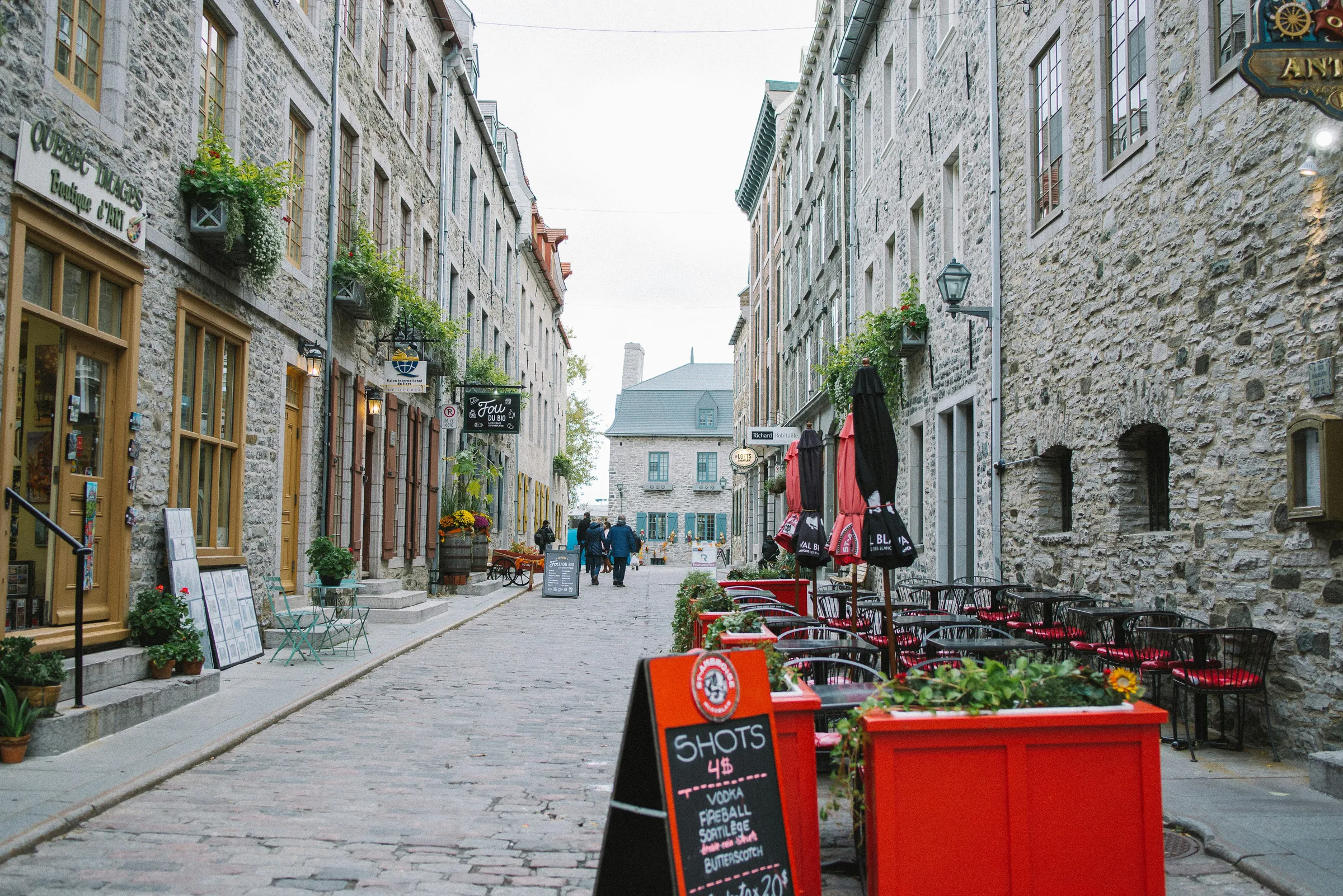
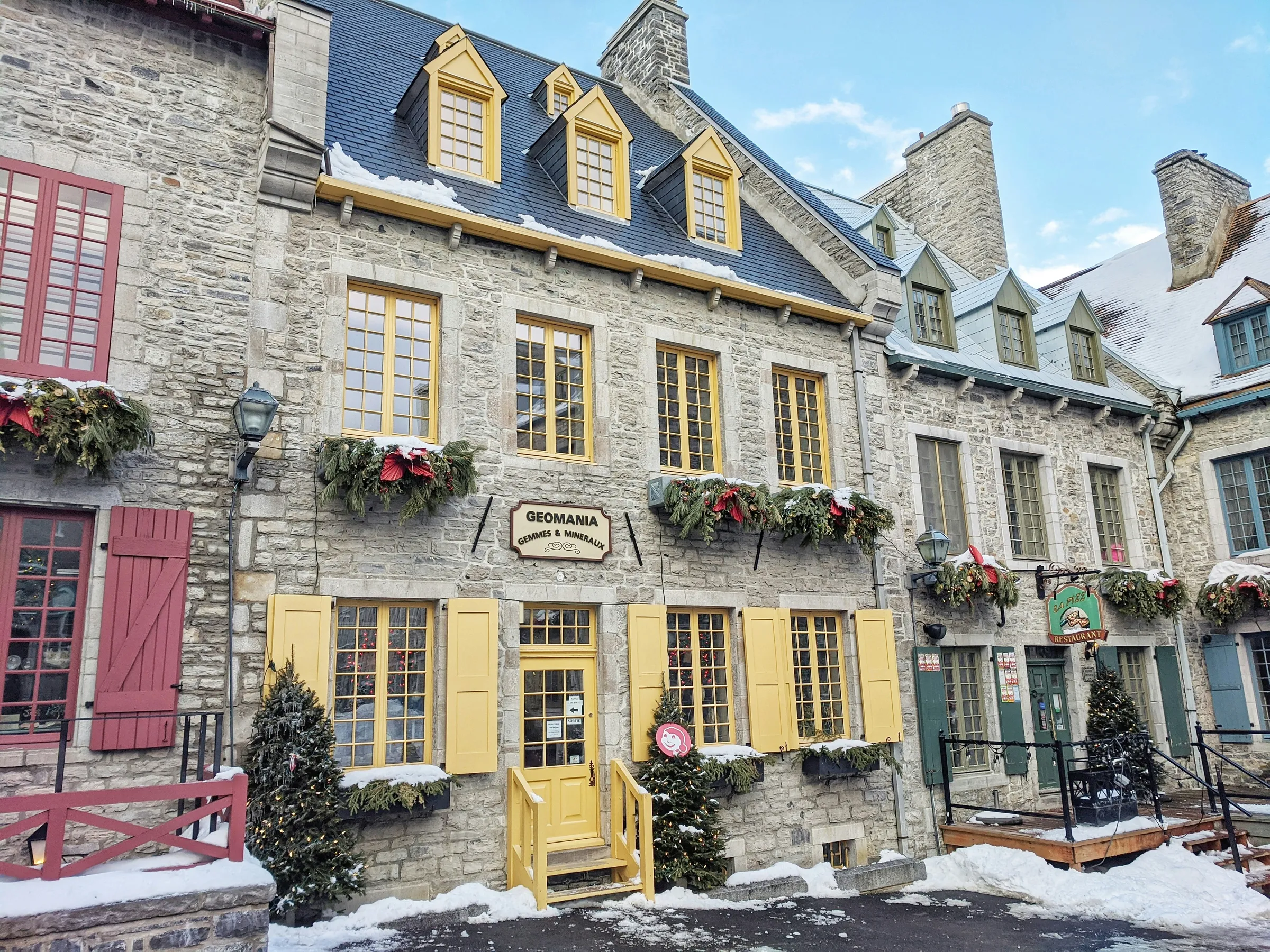
Photos
La Cité-Limoilou,
in pictures.
Who lives here
La Cité-Limoilou by the numbers.
Population · Census
88 783residents
According to Statistics Canada, La Cité-Limoilou counts 88,783 residents, ranking 3rd of 6 boroughs in Ville de Québec by population.
Source
Statistique Canada2021
Figures refresh with every new Statistics Canada release. Every source on this page is public and openly accessible.
Geography
La Cité-Limoilou,
on the map.
The official borough boundary and its sub-neighbourhoods. Hover a zone to see its name and tree canopy rate.
Schools · MEQ
La Cité-Limoilou has
29 schools.
La Cité-Limoilou hosts 29 schools on record (23 public, 6 private) with the Quebec Ministry of Education.
16
Elementary
6
Secondary
23
Public
6
Private
+ 5 more schools in this area.
Source: MEQ. Each school is linked to a borough based on its official address and the borough boundaries. For Fraser Institute rankings, see directly fraserinstitute.org.
Keep exploring
Compare La Cité-Limoilou with a neighbour.
Flood risk · MELCC
0.2 %
of La Cité-Limoilou flagged as flood-risk zone.
Per the City of Montreal's 2022 mapping, 0.2% of La Cité-Limoilou (about 0.05 km²) sits in a mapped flood-risk zone.
Area at risk
0.05km²
Flood vulnerability ranging from Minor to Major per the 2022 mapping. Before any purchase in a risk zone, validate the precise sector (street, lot) with the borough and the insurer.
Why this matters
A property in a flood zone can be harder to finance (banks, insurance), and its value is more sensitive to climate events. Knowing the risk is a negotiating lever.
Source: Ville de Québec. The mapping was last updated in 2022. For the regulatory flood zones under Quebec's Land Use Act, consult the borough directly.
Some dimensions (sécurité) are not covered for this territory in V1. See methodology to understand why.
Side by side?
Compare La Cité-Limoilou
with another place.
Find a pro
Considering La Cité-Limoilou ?
Tell us your project, we'll connect you with the right pro.
Tick as many pros as your project needs. Each one reaches out directly, no fees, no obligation.
Around · Ville de Québec
The other boroughs,
one click away.

How about the neighbour?
Compare La Cité-Limoilou
side by side.
The same numbers aligned, two neighbourhoods side by side. You see the difference at a glance.
Pick another neighbourhood