LaSalle vs Les Rivières
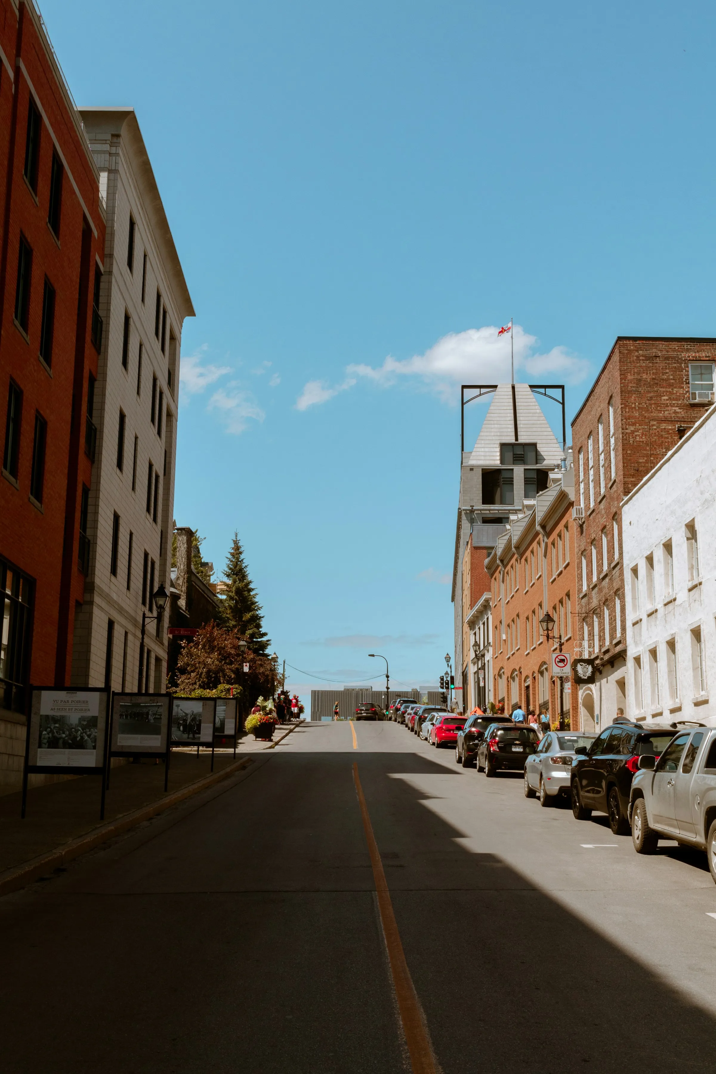
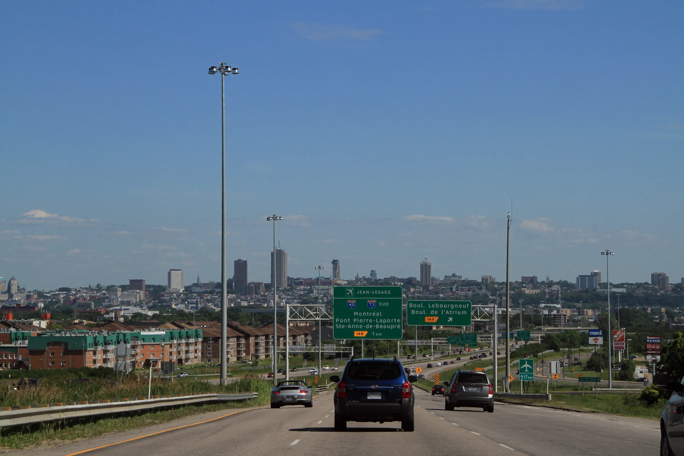
vs
LaSalle×BrossardLaSalle×GatineauBrossard×Les RivièresGatineau×Les RivièresLe Plateau-Mont-Royal×VerdunOutremont×Rosemont-La Petite-PatrieLachine×Saint-LaurentSherbrooke×Trois-RivièresLaval×QuébecGatineau×SaguenayLa Cité-Limoilou×Sainte-Foy–Sillery–Cap-RougeBeauport×CharlesbourgOutremont×Sainte-Foy–Sillery–Cap-RougeLe Plateau-Mont-Royal×La Cité-LimoilouLaSalle×BrossardLaSalle×GatineauBrossard×Les RivièresGatineau×Les RivièresLe Plateau-Mont-Royal×VerdunOutremont×Rosemont-La Petite-PatrieLachine×Saint-LaurentSherbrooke×Trois-RivièresLaval×QuébecGatineau×SaguenayLa Cité-Limoilou×Sainte-Foy–Sillery–Cap-RougeBeauport×CharlesbourgOutremont×Sainte-Foy–Sillery–Cap-RougeLe Plateau-Mont-Royal×La Cité-Limoilou
Comparison
The same numbers,
side by side.
LaSalle leads on 4 of the 6 dimensions compared. Comparing LaSalle and Les Rivières means reading 11 public indicators side by side. 74,276 residents on population in LaSalle, 74,689 residents in Les Rivières; on area, LaSalle reaches 25.2 km² while Les Rivières sits at 49.2 km²; LaSalle records 2,953 residents per km² on density, against 1,519 residents per km² in Les Rivières. area: Les Rivières ahead by 95% more. density: LaSalle ahead by 94% more.
| Indicator | LaSalle | Les Rivières |
|---|---|---|
| Population (residents) | 74 276 | 74 689 |
| Area (square kilometres) | 25,2 km² | 49,2 km² |
| Density (residents per km²) | 2 953 | 1 519 |
| Public trees (maintained public trees) | 37 | 33 449 |
| Bus stops (stops) | 386 | 758 |
| Schools (schools (MEQ)) | 23 | 16 |
| Primary schools (primary schools) | 17 | 12 |
| Secondary schools (secondary schools) | 4 | 3 |
| Public schools (public schools) | 22 | 15 |
| Private schools (private schools) | 1 | 1 |
| CEGEPs (CEGEPs and colleges) | 2 | 2 |
In short
The most striking difference between these two areas lies in urban forestry, with the Quebec City borough of Les Rivières counting 33,449 public trees, which is about 904 times more (or 90303% more) than LaSalle's 37. While LaSalle offers a highly compact living environment with a density of 2,953 residents per km² (94% more than Les Rivières), Les Rivières spans an area of 49.2 km², which is 95% more than LaSalle and its 25.2 km². This vast territory allows Les Rivières to offer 758 bus stops (96% more than LaSalle and its 386 stops), whereas LaSalle focuses on a concentrated educational offering with 22 schools and 4 CEGEPs.
Questions
Questions about LaSalle vs Les Rivières
- Which sector offers the most spacious and green environment?
- Les Rivières wins for space and greenery with its area of 49.2 km² and 33,449 public trees. LaSalle presents a much denser profile of 2,953 residents per km², ideal for local urban living.
- Which is the best choice for schooling my children?
- LaSalle has a more developed public school infrastructure with 21 public schools, which is 40% more than Les Rivières with its 15. In total, LaSalle offers 22 schools (including 16 primary schools and 4 secondary schools) compared to 16 for Les Rivières (including 12 primary schools and 3 secondary schools).
- How does the public transit offering compare between the two areas?
- Les Rivières offers an extensive network featuring 758 bus stops, which is 96% more than LaSalle with its 386 stops. LaSalle compensates for this with its density, making active transit easier.
- What about access to higher education?
- LaSalle stands out with 4 CEGEPs, about 2 times more (or 100% more) than Les Rivières which has 2. Both territories are tied for private schools, with 1 institution each.
- Do these two sectors home a similar number of residents?
- Yes, their populations are nearly identical, with Les Rivières counting 74,689 residents compared to 74,276 for LaSalle, representing an absolute difference of only 413 people.
Other pairs
Explore other comparisons.
Compare 2 other neighbourhoods
Pick freely from all covered places.